
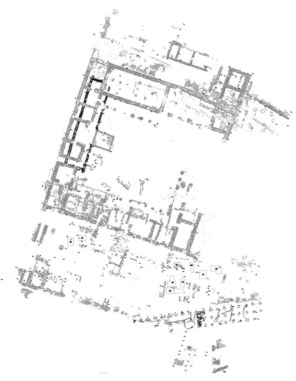
Document Content
Daily Log
Wednesday, July 1, 2015
AM
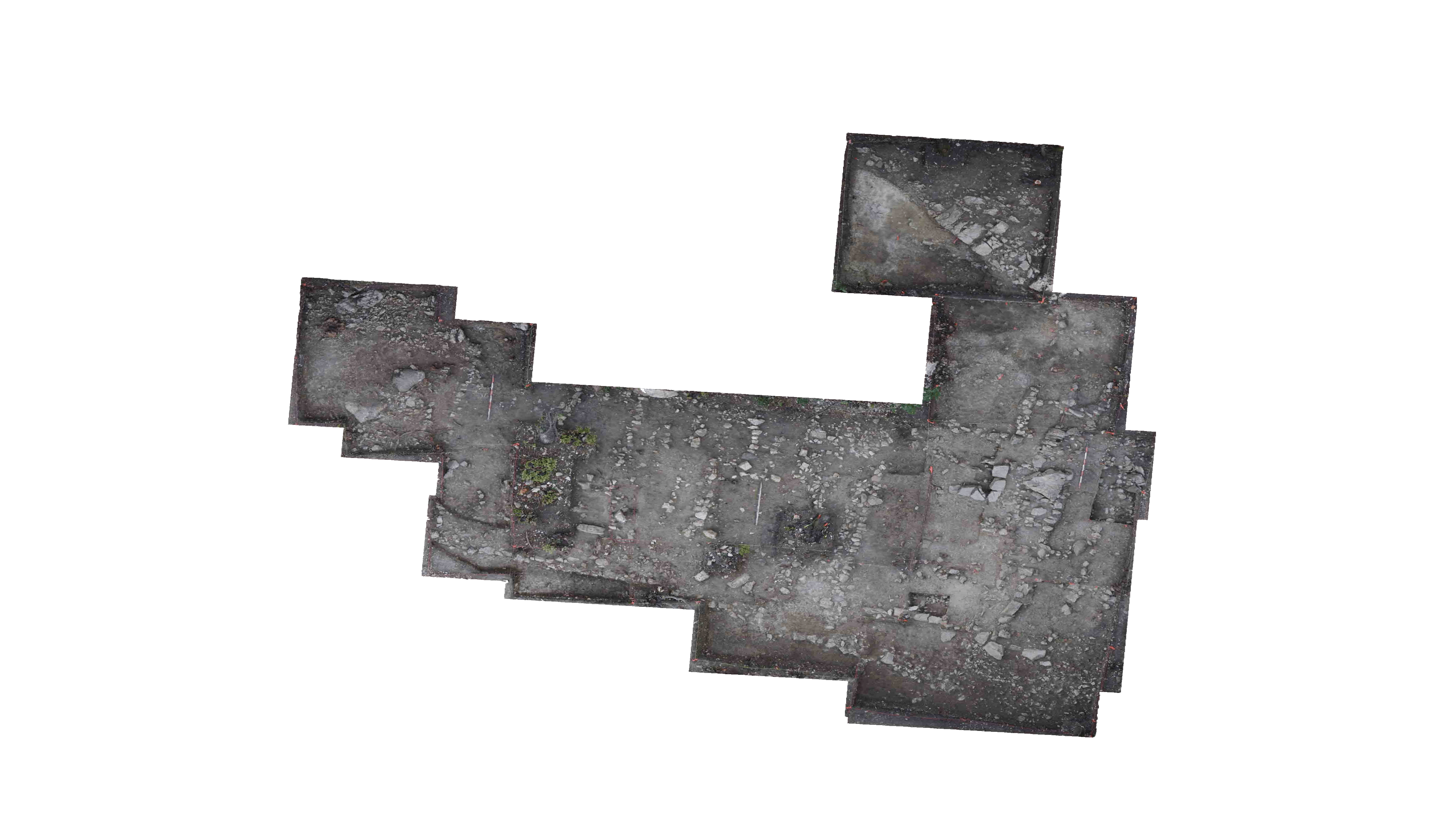
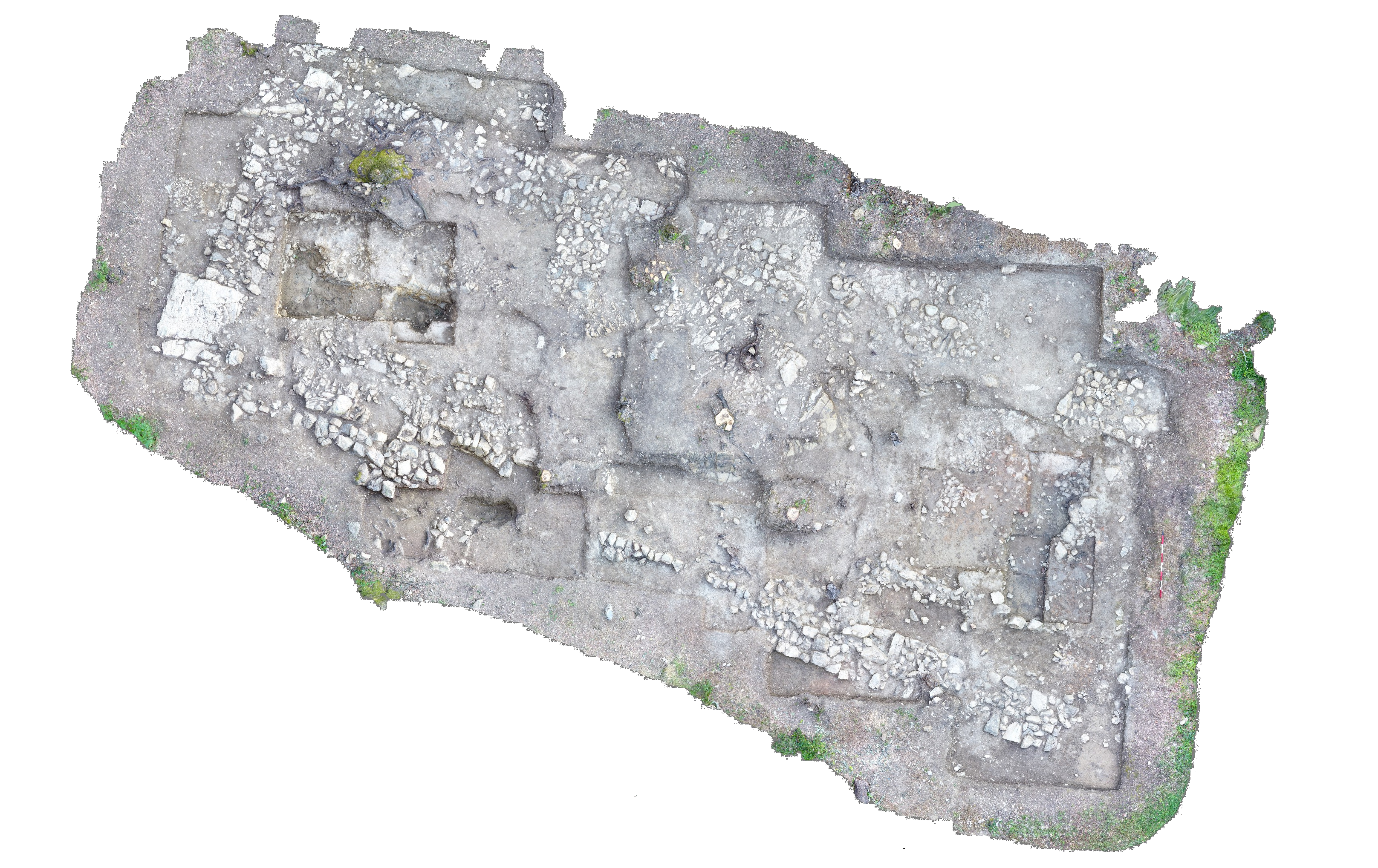
Work began with a pick pass of the trench, excluding the rock feature in the northeast corner. The pick pass moved away from the rock feature, from east to west. Top soil continued to be dark brown and relatively loose, with many roots and small rocks, but beneath this, a yellower, more claylike soil began to appear. Additionally, we began to find slightly more pottery, along with a bronze flake, which will be bulk found. Soil was hand-sorted directly into buckets in the trench. A possible piece of slag (Find #1) was recovered and medieval pottery (Find #2) was found.
After soil from the pick pass was sorted and removed, we decided to scrape the trench floors with trowels and handpicks, in order to remove the last of the topsoil, level the trench floor, and determine whether the rock packing in the NE corner of the trench is clearly delineated. The rock pack is delineated and forms a near right angle. Additionally, some larger rocks began to appear in the SW corner of the trench as well. Throughout the trench, the new, yellowish, claylike soil was revealed.
Special Finds
\xb7 Find #1
\xb7 Locus 1
\xb7 87.88E/36.26S
\xb7 26.98m A.E.
\xb7 Possible slag
\xb7
\xb7 Find #2
\xb7 Locus 1
\xb7 86.54E/34.50S
\xb7 27.12m A.E.
\xb7 Medieval Pottery
PM
Work continued by axing out exposed roots. Once this was done we continued to level the trench floor, using handpicks and trowels, in order to remove the remaining topsoil and to determine whether the rocks in the NE corner of the trench are delineated. The rocks in the NE corner of the trench are clearly delineated, but run into a larger cluster of rocks in the north that continues into T-72 and T-73. Additionally, a small cluster of stones in the NW corner of the trench continues into T-72 and there are some larger rocks in the SW corner of the trench.
Once this was done, all topsoil was removed. Baulk walls were trimmed and roots clipped in preparation for the closing of Locus 1 and the opening of Locus 2 . Additionally, the rock cluster
in the NW corner of the trench continued to be defined, although so far these do not appear to be clearly delineated.
Closing elevations for the day were taken.
Closing elevations:
\xb7 NW corner: 27.19m A.E.
\xb7 NE corner: 27.13m A.E.
\xb7 SE corner: 27.01m A.E.
\xb7 SW corner: 26.97m A.E.
Locus 1 :
\xb7 Tile: 1/10 bowl
\xb7 Pottery: 8 sherds
\xb7 Bone: 0 fragments
\xb7 Bronze: 1 fragment
| Descriptive Attribute | Value(s) |
|---|---|
| Document Type | Trench Book Entry |
| Trench Book Entry Date | 2015-07-01 |
| Entry Year | 2015 |
| Start Page | 37 |
| End Page | 42 |
| Title | Daily Log |
| Descriptive Attribute | Value(s) |
|---|---|
| Is Part Of Vocabulary: DCMI Metadata Terms (Dublin Core Terms) | KRK VIII Vocabulary: Murlo |
Suggested Citation
Katharine R. Kreindler. (2017) "KRK VIII (2015-07-01):37-42; Daily Log from Europe/Italy/Poggio Civitate/Tesoro/Tesoro 71/2015, ID:688/Locus 1". In Murlo. Anthony Tuck (Ed). Released: 2017-10-04. Open Context. <https://opencontext.org/documents/8c4b80db-b637-47ba-a6b6-bd6b1507cd38> ARK (Archive): https://n2t.net/ark:/28722/k2hd8451t

Copyright License
To the extent to which copyright applies, this content
carries the above license. Follow the link to understand specific permissions
and requirements.
Required Attribution: Citation and reference of URIs (hyperlinks)
