Document Content
Date: 26-Jul-97
Weather: Sunny, clear, no breeze
Number of Workers: 3-4
Lots Open: 876, 877, 878
Page Reference: 352
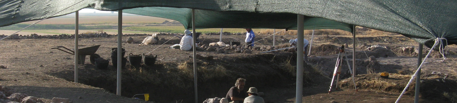
STRATEGY: Continue to excavate 877. Continue removing 3cm spit from the upper levels of trench as lot 876. Look for signs of tauf superstructure for wall running N-S from trench 451N, 596E into 446N, 596E, i.e., at the northern upper area of trench 446N, 596E.
SUMMARY: 3 lots excavated today: 877 by Amanda, 876 and 878 by the workmen. 1. 877: on the hypothesis that this was a pit, I tried to define the northern and eastern edges. This was very difficult and in conclusion, this lot is the very shallow bottom of the pit, with edge only confidently reached on the northwest corner and the southeast corner. A special find was in the northeast corner, a possible round stone stopper (sf121). 2. 876 was excavated in two 3cm spits. Upon brushing the newly excavated second spit, a number of 'areas' became visible. There is a possible pit or mound (to be decided upon further excavation- this area is to be given a new lot number) on the western edge of 876 (see sketch). There were three fragments of concave shaped plaster in the middle of the lot and smaller fragments scattered to the northern end of the trench. There is a concentration of plaster above wall f250, which could be superstructure. More excavation is required to define this. There is a patch of ash in the southwest corner of the lot, to be followed with further excavation. One special find was in 876, a fragment of grinding stone (sf122) (see sketch). 3. Excavation of 878 began in the southern third beneath 876. This has revealed the ash patch to be a larger area.
| Descriptive Attribute | Value(s) |
|---|---|
| Square | 446N / 596E |
| Date | 1997-07-26 |
| Descriptive Attribute | Value(s) |
|---|---|
| Contributor Vocabulary: DCMI Metadata Terms (Dublin Core Terms) | Sally Irving Vocabulary: Domuztepe Excavations |
Suggested Citation
Sally Irving. (2006) "Log for: 446N / 596E (26-Jul-97) from Asia/Turkey/Domuztepe/II/Lot 876". In Domuztepe Excavations. Elizabeth Carter, Stuart Campbell (Ed). Released: 2006-02-28. Open Context. <https://opencontext.org/documents/c0e315c9-7ebd-6a8b-13c7-72ef072b141f> ARK (Archive): https://n2t.net/ark:/28722/k2r21229k
Editorial Status
●●●○○Part of Project

Location data available with no intentional reduction in precision, and no documented estimates of precision or accuracy.
Copyright License
To the extent to which copyright applies, this content
carries the above license. Follow the link to understand specific permissions
and requirements.
Required Attribution: Citation and reference of URIs (hyperlinks)
