| Descriptive Attribute | Value(s) |
|---|---|
| Locus ID | B7J85:003 |
| (Legacy ID: _id) | be44ed369c04d262d7bd23fedda28a38 |
| (Legacy ID: _rev) | 15-f352491485eb3bd19cc2522f8ca8c5de |
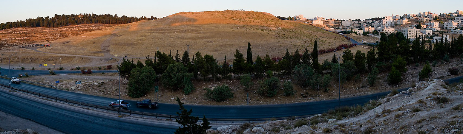
| Square | 7J85 |
| Code | 003 |
| Designation | Debris layer |
| Field | B |
| Locus type | Earth |
| Area | B |
| Start season | 1989 |
| End season | 1989 |
| Start date | 1989-07-18 |
| Bottom separation | Average |
| Created at | 2010-07-05 |
| Top separation | Clear |
| Updated at | 2010-07-31 |
| Reason | Absence of stones |
| End date | 1989-07-18 |
| Supervisor | G. Reinhold |
| Function | Appears to have been placed with care as it is almost level across the top; free of stones, so may well have been placed to form a terrace for agriculture; or it was colluvium from deteriorated rampart layers up slope; poss an agricultural terrace |
| Architecture | 0 |
| State | Approved |
| Stratigraphic relations |
|
| Clean locus | False |
| Age (period) | Late Iron 2/Persian |

| Descriptive Attribute | Value(s) |
|---|---|
| Munsell # | 10YR 6/3 |
| Texture | Sandy Clay Loam-Silty Clay Loam |
| Hardness | Somewhat loose |
| Compression Degree 1 | Moderately |
| Compression Description 1 | Crumbly |
| Wetness Degree | Moderately |
| Wetness Description | Dry |
| Structure | Random |
| Soil Distribution | Random |
| Glass (Count) | 0 |
| Tesserae (Count) | 0 |
| Tabun Fragment (Count) | 0 |
| Brick Fragment (Count) | 0 |
| Roof Tile (Count) | 0 |
| Worked Stone (Count) | 0 |
| Burnt Stone (Count) | 0 |
| Architectural Number (Count) | 0 |
| Length | 5.0 |
| Width | 5.0 |
| Lower Depth | 0.680000007 |
| Upper Depth | 0.930000007 |
| Direction | 0.0 |
| Slope | 0.0 |
| Descriptive Attribute | Value(s) |
|---|---|
| Creator Vocabulary: DCMI Metadata Terms (Dublin Core Terms) |
|
Suggested Citation
Douglas R Clark, Larry G Herr. (2025) "Locus B-7J85-003 from Asia/Jordan/Tall al-Umayri/Field B/Square 7J85". In Madaba Plains Project-`Umayri. Douglas R Clark, Larry G Herr (Ed). Released: In prep. Open Context. <https://opencontext.org/subjects/be44ed36-9c04-d262-d7bd-23fedda28a38> ARK (Archive): https://n2t.net/ark:/28722/k22j6vp0b
Editorial Status
○○○○○Part of Project

Location data available with no intentional reduction in precision, and no documented estimates of precision or accuracy.
Copyright License
To the extent to which copyright applies, this content
carries the above license. Follow the link to understand specific permissions
and requirements.
Required Attribution: Citation and reference of URIs (hyperlinks)
