| Descriptive Attribute | Value(s) |
|---|---|
| EGS Number | EGS 245 |
| Site Number | H-245 |
| Site Name | Bayan Gol Khiid |
| Site Keywords | Monastery |
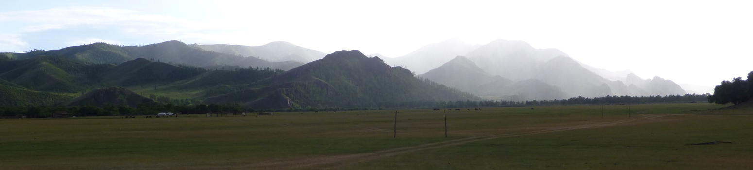
| Location | On a fan flanked by high ridges |
| Site Description | This features is shown on older maps as a monastery (khiid) All that remains are four good stone building foundations (a,c,d,e) and a few scattered stones (c) and undulations in the ground The two eastern mostly foundations include retained platforms (d,e) The northernmost has a large set of grindstones in it (b). Low rocky ridges to the east and south have rows of stone cairns (c 1 m or less in diam ) possibly devotional mound of small chortens originally build of mud brick A lamp and a cache of manuscripts were found in a small cave in the higher surrounding ridges An old (pre-motor) period road runs from the south into the area of the monastery There is a ford of the Bayan Gol, two roads from the monastery terrace lead to it The southern most has a retaining alignment. A large canal takes-off of the Bayan Gol to the south of the monastery |
| Scatter Hectares | 4.3 |
| Year Recorded | 1999 |
| Additional Examination | Subsurface |
| Additional Examination [Note] | Subsurface |
| UTM Zone | 48N |
| East UTM | 402636.0 |
| North UTM | 5484821.0 |
| Descriptive Attribute | Value(s) |
|---|---|
|
Creator
Vocabulary: DCMI Metadata Terms (Dublin Core Terms) |
Joshua Wright
Vocabulary: Egiin Gol Survey |
Suggested Citation
Joshua Wright. (2025) "EGS 245-0251 from Asia/Mongolia/Egiin Gol Survey Area". In Egiin Gol Survey. Joshua Wright (Ed). Released: In prep. Open Context. <https://opencontext.org/subjects/59f17980-f7c5-4019-a34a-5c6443aa1c24>
Editorial Status
●●○○○Part of Project
Copyright License
To the extent to which copyright applies, this content
carries the above license. Follow the link to understand specific permissions
and requirements.
Required Attribution: Citation and reference of URIs (hyperlinks)
