Document Content
6 July, 2018
AM
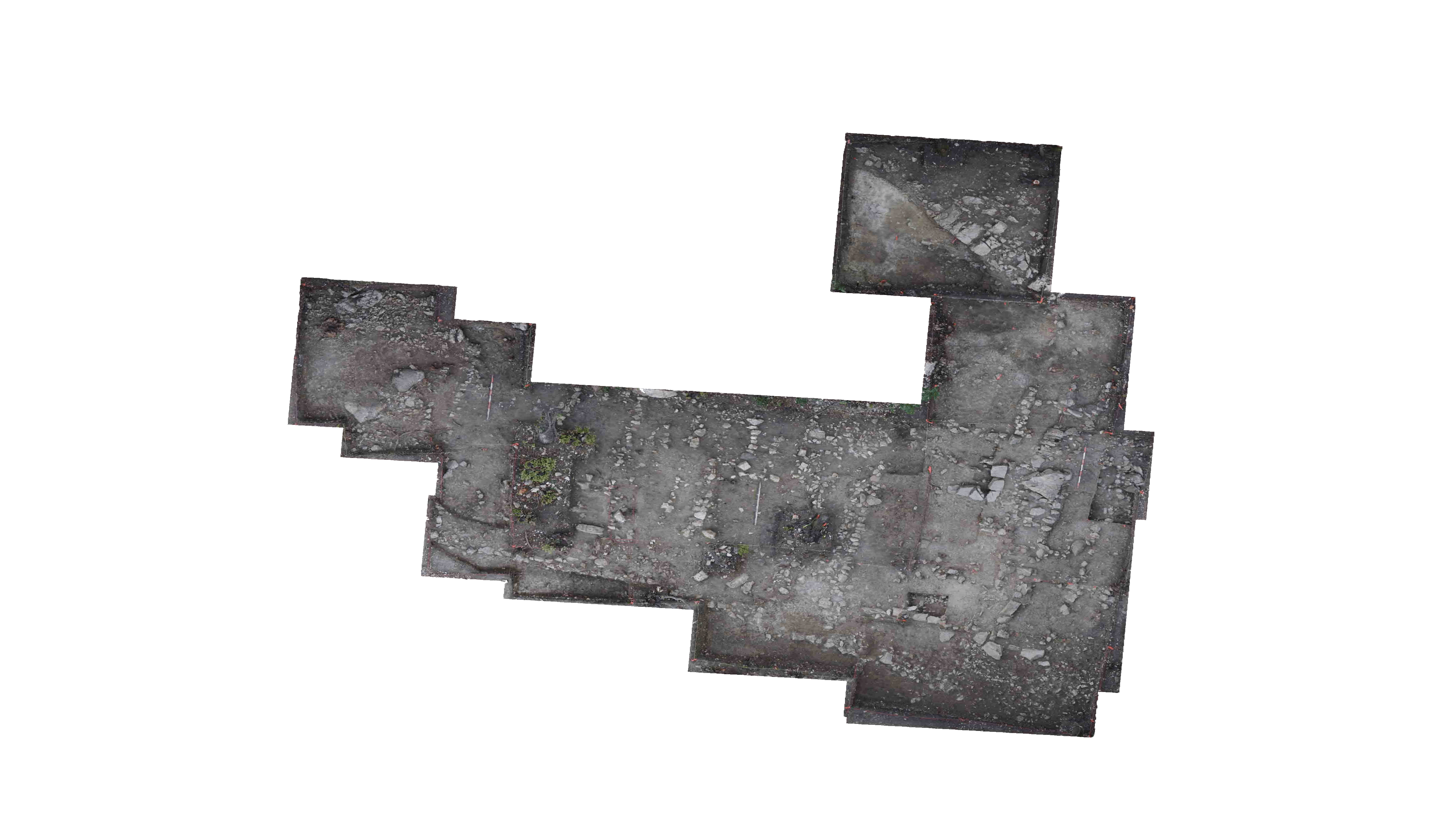
Continued cleaning of T-92 with root clipping, scraping back in the northernmost 1-1.5 meters to expose the original 90’s west extension trench.
Trench line was strung up along the southern and eastern boundary of T-91 and the northern and eastern boundary of T-93 to distinguish stratigraphic divisions in the soil, as visible from the baulk walls, to draw and photograph stratigraphy of the area surrounding the workshop.
PM
Opening coordinates and elevations were taken for T-92. In order to represent the elevation changes between the originally excavated area of the T-22 west extension before the trench was narrowed, the refined area of the T-22 west extension, and the unexcavated area within the confines of the T-92 area, 8 points will be used for coordinates as following:
NW (46 S / 168 E) – 27.79 m.AE
NE (46 S / 171 E) – 28.20 m.AE
NE 2 (47.81 S / 171 E) – 27.71 m.AE
NE 3 (48.04 S / 171 E) – 27.87 m.AE
SE (49 S / 171 E) – 26.75 m.AE
SW (49 S / 168 E) – 26.90 m.AE
SW 2 (47.03 S / 168 E) – 26.87 m.AE
SW 3 (46.82 S, 168 E) – 27.52 m.AE
Points were taken along the southern boundary of the anticipated area of excavation in T-92 to elaborate on the area being dug in contrast to the northern confines of the northern face of the T-22 west extension. Alphabetized points were used to document major changes in coordinate points to plot the anticipated area of excavation onto a grid for a visual of the excavated area of T-92.
A (46.82 S / 168 E)
B (46.85 S / 168.23 E)
C (46.83 S / 168.38 E)
D (47.05 S / 168.70 E)
E (47.22 S / 169.29 E)
F (47.39 S / 169.66 E)
G (47.44 S / 170.03 E)
H (47.69 S / 170.40 E)
I (47.77 S / 170.68 E)
J (47.81 S / 171 E)
Various elevations were taken throughout the anticipated area of excavation of T-92 as a representation of the divots left from the original excavation area of the T-22 west extension. These points will be plotted on a diagram of the trench with the following coordinates and elevations:
1 (46.12 S / 169.03 E) – 28.18 m.AE
2 (46.84 S / 168.55 E) – 27.53 m.AE
3 (46.72 S / 169.72 E) – 27.95 m.AE
4 (47.38 S / 169.95 E) – 27.71 m.AE
5 (47 S / 170.86 E) – 27.94 m. AE
A sketch was made of the anticipated excavation area of T-92.
*Sketch of area of excavation*
End of day totals:
Baulk trim:
Tile / plaster – 2 pieces
| Descriptive Attribute | Value(s) |
|---|---|
| Document Type | Trench Book Entry |
| Start Page | 45 |
| End Page | 52 |
| Trench Book Entry Date | 2018-07-06 |
| Entry Year | 2018 |
| Entry Type | Excavation Activities |
| Trench Book Title (Paper Book) | KPH IV |
| Descriptive Attribute | Value(s) |
|---|---|
| Is Part Of Vocabulary: DCMI Metadata Terms (Dublin Core Terms) | Trench Book KPH IV T92 2018 Vocabulary: Murlo |
Suggested Citation
Anthony Tuck. (2019) "T92 (2018-07-06):45-52; Excavation Activities from Europe/Italy/Poggio Civitate/Tesoro/Tesoro 92/T92 2018". In Murlo. Anthony Tuck (Ed). Released: 2019-07-28. Open Context. <https://opencontext.org/documents/a9e39804-1066-4dd4-a04a-80e8534773ca> ARK (Archive): https://n2t.net/ark:/28722/k2kd26154

Copyright License
To the extent to which copyright applies, this content
carries the above license. Follow the link to understand specific permissions
and requirements.
Required Attribution: Citation and reference of URIs (hyperlinks)


