| Descriptive Attribute | Value(s) |
|---|---|
| Location Code | 12 |
| Site Category | Isolated settlement |
| Cultural Type | Unknown |
| Tomb Type | 2 |
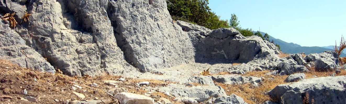
| Topography | flank of mountain above Kaledran gorge |
| Typology | tombs visible |
| Material | pottery |
| UTM-X Coord | 463405.0 |
| UTM-Y Coord | 4004840.0 |
| Elevation | 991.0 |
| Latitude | 36.18766214 |
| Longitude | 32.59299924 |
| Has note | This is a preliminary draft release of Roman-Era tombs documented in survey of Cilicia. Additional documentation is forthcoming. |
| Descriptive Attribute | Value(s) |
|---|---|
| Coverage Vocabulary: DCMI Metadata Terms (Dublin Core Terms) | Chronology, Roman Vocabulary: Library of Congress Subject Headings Open Context References: Chronology, Roman |
| Creator Vocabulary: DCMI Metadata Terms (Dublin Core Terms) | Nicholas K. Rauh Vocabulary: Rough Cilicia |
| Spatial Coverage Vocabulary: DCMI Metadata Terms (Dublin Core Terms) | |
| Subject Vocabulary: DCMI Metadata Terms (Dublin Core Terms) |
|
Suggested Citation
Nicholas K. Rauh. (2012) "Tomb: Hisar-7 from Asia/Turkey/Hisar". In Rough Cilicia. Nicholas K. Rauh (Ed). Released: 2012-04-28. Open Context. <https://opencontext.org/subjects/ffa7ea00-899f-4048-f30e-738a53be021c> ARK (Archive): https://n2t.net/ark:/28722/k2dj5fq8d
Editorial Status
●●●○○Part of Project

Location data available with no intentional reduction in precision, and no documented estimates of precision or accuracy.
Copyright License
To the extent to which copyright applies, this content
carries the above license. Follow the link to understand specific permissions
and requirements.
Required Attribution: Citation and reference of URIs (hyperlinks)
