| Descriptive Attribute | Value(s) |
|---|---|
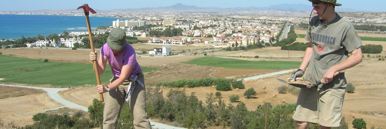
| Summary |
Area of looser soil surrounded by rock walls/boundaries in new SW estension area of trench- east side of SW extention Dry sieve |
| Date Excavated | 2008-06-05 |
| Min Elevation | 55.49 |
| Max Elevation | 55.64 |
| Description |
Area of more somewhat looser (cf. to rest of trench at this level) soil, bounded by rocks on 2 sides and scarp wall on other 2 sides -- East side of trench. Made this a separate SU from rest of trench. Uncovered rounded gypsum fragment in SW corner of SU. NS wall revealed and defined large cut block near gypsum. This soil is different than the soil immediately west (52 08) of N-S stone that cuts across the SW extension. Its looseness and softness suggests that it is a later (more recent) digging into the soil matrix of 5208. This is a hypothesis anyway. |
| Munsell | 10YR 4/4 Dark Yellowish Brown |
| Texture | Sandy Clay Loam |
| Consolidation | Coarse-grained Sediment: Compact |
| Stoniness | 10 |
| Dominant Clast | Gravel |
| Descriptive Attribute | Value(s) |
|---|---|
|
Creator
Vocabulary: DCMI Metadata Terms (Dublin Core Terms) |
Suggested Citation
David K. Pettegrew, William R. Caraher, R. Scott Moore. (2019) "SU-5207 from Europe/Cyprus/PKAP Survey Area/Vigla/EU-2". In Pyla-Koutsopetria Archaeological Project II: Geophysics and Excavation. David K. Pettegrew, William R. Caraher, R. Scott Moore (Ed). Released: 2019-12-04. Open Context. <https://opencontext.org/subjects/c097a884-fccb-4a35-99f8-46f3481ead4a> ARK (Archive): https://n2t.net/ark:/28722/k2794hm2n
Editorial Status
●●●○○Copyright License
To the extent to which copyright applies, this content
carries the above license. Follow the link to understand specific permissions
and requirements.
Required Attribution: Citation and reference of URIs (hyperlinks)
