| Descriptive Attribute | Value(s) |
|---|---|
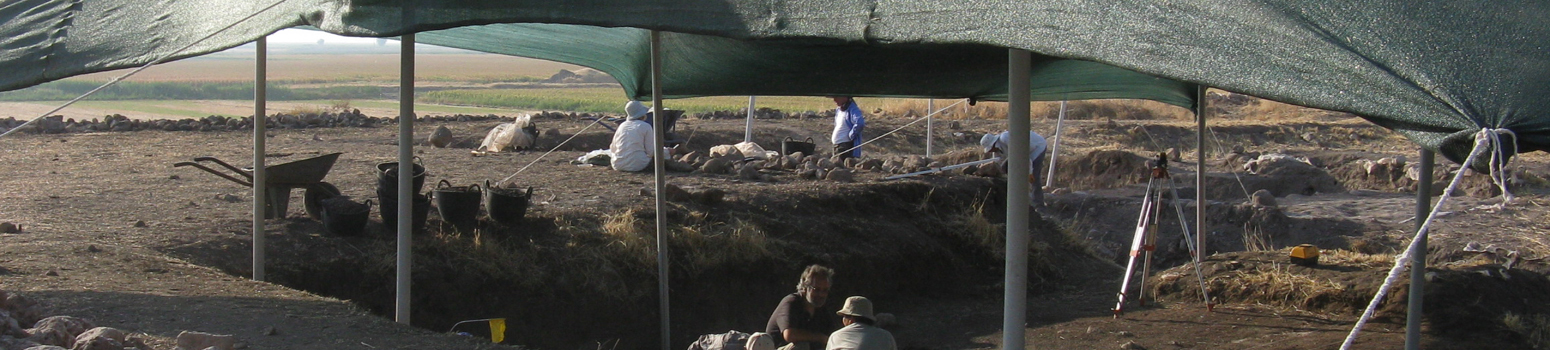
| Description | Possible pit at end levels of N490 E495 for 1998 season. Pit is located in the NW corner of the trench and is likely to have started at a higher level than currently visible - bottoms out very close to the end of N490 E495 but we did clear the pit out to the bottom. |
| Year Opened | 1998-04-03 |
| Trench-n | 490.0 |
| Trench-e | 495.0 |
| Initials | mls |
| Coord_1-n | 494.0 |
| Coord_1-s | 496.0 |
| Begin Depth | 101.37 |
| End Depth | 101.25 |
| Discovery Lot | L2319 |
| Cleaning Lot | L2323 |
| Removal Lot | L2323 |
Suggested Citation
Elizabeth Carter, Stuart Campbell. (2010) "Feature 169 from Asia/Turkey/Domuztepe/I". In Domuztepe Excavations. Elizabeth Carter, Stuart Campbell (Ed). Released: 2010-12-12. Open Context. <https://opencontext.org/subjects/9e1f8b3d-0e05-4add-382f-f6ed518d957c> ARK (Archive): https://n2t.net/ark:/28722/k2vd6x92z
Editorial Status
●●●○○Part of Project

Location data available with no intentional reduction in precision, and no documented estimates of precision or accuracy.
Copyright License
To the extent to which copyright applies, this content
carries the above license. Follow the link to understand specific permissions
and requirements.
Required Attribution: Citation and reference of URIs (hyperlinks)
