| Descriptive Attribute | Value(s) |
|---|---|
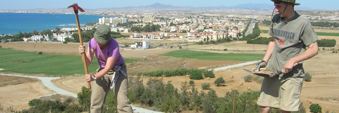
| Summary |
Continuing excavation of pit area in NE of extension. Dry sieve "Other" Finds Bags: Shell |
| Date Excavated | 2008-06-10 |
| Min Elevation | 55.2 |
| Max Elevation | 55.23 |
| Description | Continued excavation of "pit" area. Soil is darker, more burnt looking than 5218 above. Also occasional small patches of very orange soil -- perhaps iron deposits in soil? Similar bits of pottery and shells. Mortar/plaster bits scattered throughout. Found small gypsum slab. Reached the bottom of two large blocks that form the N and W boundaries of this SU. Soil at base of blocks was much looser. Hit bedrock in nearly all of this SU except for small portion that became too difficult to excavate. It will have to be removed when the surrounding area is taken down to this level. |
| Munsell | 7.5YR 4/3 |
| Texture | Sandy Clay Loam |
| Consolidation | Coarse-grained Sediment: Loose |
| Stoniness | 10 |
| Dominant Clast | Gravel |
| Descriptive Attribute | Value(s) |
|---|---|
|
Creator
Vocabulary: DCMI Metadata Terms (Dublin Core Terms) |
Suggested Citation
David K. Pettegrew, William R. Caraher, R. Scott Moore. (2019) "SU-5222 from Europe/Cyprus/PKAP Survey Area/Vigla/EU-2". In Pyla-Koutsopetria Archaeological Project II: Geophysics and Excavation. David K. Pettegrew, William R. Caraher, R. Scott Moore (Ed). Released: 2019-12-04. Open Context. <https://opencontext.org/subjects/98ac4eef-237b-415f-bf4e-a329481f3149> ARK (Archive): https://n2t.net/ark:/28722/k2959w10r
Editorial Status
●●●○○Copyright License
To the extent to which copyright applies, this content
carries the above license. Follow the link to understand specific permissions
and requirements.
Required Attribution: Citation and reference of URIs (hyperlinks)
