| Descriptive Attribute | Value(s) |
|---|---|
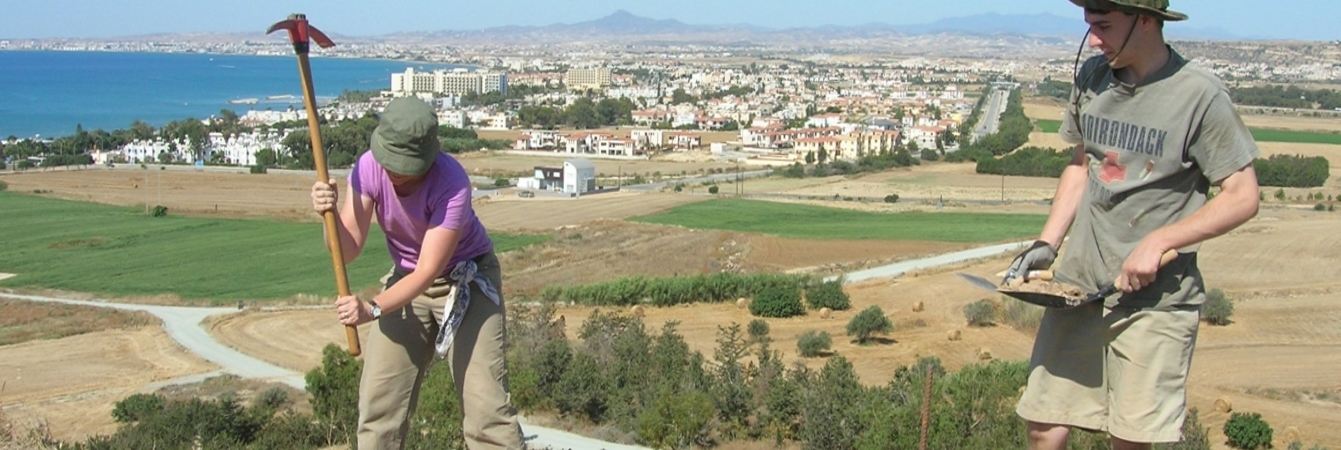
| Summary |
Trench runs north-south. East of EU2 (from 2008) amd west of EU1 (from 2008). South central area of Vigla. Surface collection. Max. elevation taken in NW corner; min. elevation taken in SE corner. No sieve. |
| Date Excavated | 2009-05-25 |
| Min Elevation | 55.64 |
| Max Elevation | 55.76 |
| Description | (Surface collection.) |
| Stoniness | 0 |
| Descriptive Attribute | Value(s) |
|---|---|
|
Creator
Vocabulary: DCMI Metadata Terms (Dublin Core Terms) |
Suggested Citation
David K. Pettegrew, William R. Caraher, R. Scott Moore. (2019) "SU-5701 from Europe/Cyprus/PKAP Survey Area/Vigla/EU-8". In Pyla-Koutsopetria Archaeological Project II: Geophysics and Excavation. David K. Pettegrew, William R. Caraher, R. Scott Moore (Ed). Released: 2019-12-04. Open Context. <https://opencontext.org/subjects/8466a11a-479c-46cf-9f24-a1a4ddac9b5a> ARK (Archive): https://n2t.net/ark:/28722/k2xk8ng9c
Editorial Status
●●●○○Copyright License
To the extent to which copyright applies, this content
carries the above license. Follow the link to understand specific permissions
and requirements.
Required Attribution: Citation and reference of URIs (hyperlinks)
