| Descriptive Attribute | Value(s) |
|---|---|
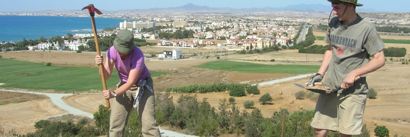
| Summary |
Between Northern wall (5702_f1) and “Southern Wall” (5702_f2). Dry sieve. |
| Date Excavated | 2009-06-03 |
| Min Elevation | 55.25 |
| Max Elevation | 55.39 |
| Description |
There was a significant amount of tumble, pottery, and mudbrick in this SU. The soil was similar to the fill on the Northern side of the North wall. The dirt towards the south was getting harder. We found bigger pieces of pottery, some bone (bone was also found in SU 5712), and flooring. We decided to close the SU because we hit a floor surface and then went down another 3-5 cm. Top Elevation N =55.37, C =55.39, S = 55.37 Bottom Elevation N =55.29, C = 55.25, S = 55.29 D. Pettegrew Addendum: Check this "floor surface"= is it the mortar floor? |
| Munsell | 10YR 5/4 Yellowish Brown |
| Texture | Silty Clay Loam |
| Consolidation | Coarse-grained Sediment: Loose |
| Stoniness | 20 |
| Dominant Clast | Gravel |
| Descriptive Attribute | Value(s) |
|---|---|
|
Creator
Vocabulary: DCMI Metadata Terms (Dublin Core Terms) |
Suggested Citation
David K. Pettegrew, William R. Caraher, R. Scott Moore. (2019) "SU-5714 from Europe/Cyprus/PKAP Survey Area/Vigla/EU-8". In Pyla-Koutsopetria Archaeological Project II: Geophysics and Excavation. David K. Pettegrew, William R. Caraher, R. Scott Moore (Ed). Released: 2019-12-04. Open Context. <https://opencontext.org/subjects/5428bd47-6154-4665-b9d8-eb07bb0ddad1> ARK (Archive): https://n2t.net/ark:/28722/k2hh6vz4j
Editorial Status
●●●○○Copyright License
To the extent to which copyright applies, this content
carries the above license. Follow the link to understand specific permissions
and requirements.
Required Attribution: Citation and reference of URIs (hyperlinks)
