| Descriptive Attribute | Value(s) |
|---|---|
| Summary | Red brown soil overlaying mortar bed/flooring in SE corner of EU 2. |
| Date Excavated | 2008-06-10 |
| Min Elevation | 55.3 |
| Max Elevation | 55.36 |
| Description |
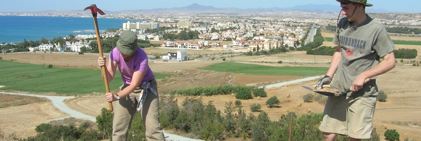
This SU was designed to take the SE corner of EU 2 to the mortar as the west. However, after removing a few cm of soil, we discovered a very soft soil fill, which was in the place where the mortar bed should have been. It appears that someone dug into the mortar bed0 there are many pottery fragments in this pit. While defining the now SU, we discovered a piece of statuary -- We have left this in the fill and will remove it as part of the next SU. Bottom elevation: 55.30. Piece -- plotted statuette (part of 5225) El. 55.35m 1448.16 N, 4453.79 E. |
| Munsell | 7.5YR 5/4 Brown |
| Texture | Sandy Clay |
| Consolidation | Fine-grained Sediment: Soft |
| Stoniness | 15 |
| Dominant Clast | Gravel |
| Descriptive Attribute | Value(s) |
|---|---|
|
Creator
Vocabulary: DCMI Metadata Terms (Dublin Core Terms) |
Suggested Citation
David K. Pettegrew, William R. Caraher, R. Scott Moore. (2019) "SU-5223 from Europe/Cyprus/PKAP Survey Area/Vigla/EU-2". In Pyla-Koutsopetria Archaeological Project II: Geophysics and Excavation. David K. Pettegrew, William R. Caraher, R. Scott Moore (Ed). Released: 2019-12-04. Open Context. <https://opencontext.org/subjects/40a46990-7d01-4ce8-8d77-9b914451f751> ARK (Archive): https://n2t.net/ark:/28722/k2dz0kt75
Editorial Status
●●●○○Copyright License
To the extent to which copyright applies, this content
carries the above license. Follow the link to understand specific permissions
and requirements.
Required Attribution: Citation and reference of URIs (hyperlinks)
