| Descriptive Attribute | Value(s) |
|---|---|
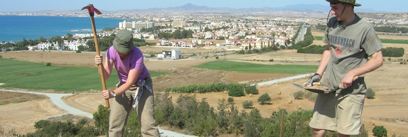
| Summary |
Brown soil above a pebbly mortar bedding / floor – a cleaning SU to define soils. Dry sieve No "other" finds bags was checked, but below it "Coin--1" & "Shell--1" were written |
| Date Excavated | 2008-06-09 |
| Min Elevation | 55.36 |
| Max Elevation | 55.43 |
| Description |
This SU was intended to clean the EU floor in the Eastern two-thirds of the main trench -- after a hiatus of several days while we excavated the SW part of EU -- and to better define the strata. It was immediately under 5205, and, in fact, was intended to complete the removal of the soil of 5205, which was ended arbitrarily in order to begin work in the SW extension. Coin -- 55.35m. In the western part of this SU, I have encountered very soft soil but east of ca. 4451.50 E, there is pebbly mortar which may be either floor or the bedding of the floor. While trying to define this in the E. side of EU. I found a coin in situ which makes me think this is indeed floor. Coin: 55.45m 448.63 N 4453.57 E =FS 5219_1001 Now Tuesday 9/6/08: John and I have defined the SW strata in this part of EU 2 -- Cf. 5219_d1 for plan. There are 4 main components to mention: A white mortar bed, presumably subflooring, runs across much of trench west of the N-S wall. To define this floor, we troweled and cleared some sections of it -- to ensure that this was, in fact, floor/subfloor. This is feature 5219_f1. (Side note: Elevation 55.40m 55.36m (also, 43 and 47 writing alongside)). A reddish brown soil overlays the mortar in two parts (E and W) of the EU -- we will dig this as two separate SUs even through it represents the same stratum, presumably overlying the floor. Fragments of finished flooring in this area. (Side note: el. East 55.36 (47) El. West 55.40m (43). A very loose soil immediately east of the N-S wall. WE think we may have dug through the floor on this end which means that this SU will be below the mortar and the red brown soil above (i.e. #’s 1 and 2). (Side note: elev. 55.39m (44)). |
| Munsell | 7.5YR 4/4 - 10YR 4/4 |
| Texture | Sandy Clay |
| Consolidation | Fine-grained Sediment: Soft |
| Stoniness | 20 |
| Dominant Clast | Gravel |
| Descriptive Attribute | Value(s) |
|---|---|
|
Creator
Vocabulary: DCMI Metadata Terms (Dublin Core Terms) |
Suggested Citation
David K. Pettegrew, William R. Caraher, R. Scott Moore. (2019) "SU-5219 from Europe/Cyprus/PKAP Survey Area/Vigla/EU-2". In Pyla-Koutsopetria Archaeological Project II: Geophysics and Excavation. David K. Pettegrew, William R. Caraher, R. Scott Moore (Ed). Released: 2019-12-04. Open Context. <https://opencontext.org/subjects/396a15da-201f-4bab-bc79-7cf6b7061959> ARK (Archive): https://n2t.net/ark:/28722/k2x06f50w
Editorial Status
●●●○○Copyright License
To the extent to which copyright applies, this content
carries the above license. Follow the link to understand specific permissions
and requirements.
Required Attribution: Citation and reference of URIs (hyperlinks)
