| Descriptive Attribute | Value(s) |
|---|---|
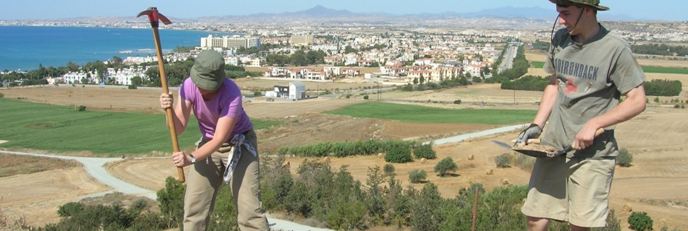
| Summary |
Starting with layer of more compact soil & bedrock(?) -- cont[inuation] of plowzone. Dry sieve. Shells [included in the "organic" find bags]. Munsell color noted implausibly as "10.5YR 5/4". |
| Date Excavated | 2008-05-31 |
| Min Elevation | 55.48 |
| Max Elevation | 55.62 |
| Description |
55.61 E, 55.62 W Very compact, stony soil, redder soil underneath. We are trying to remove compacted soil layer and define rocks. More rocks revealed along South border of trench -- perhaps wall, which would be running E-W. Piece of plaster found with finished (smooth) side. 3/6/08 Con’t excavation of very compact, hard soil. Handicapped by lack of a big pick ax -- very slow going with this SU. Ashy, looser soil with lots of pottery in the NE corner of trench, also small bit of ashy soil in North center of trench. Trying to get down to that level everywhere, but ashiness seems to be isolated. Small animal bones found, center of trench. end of day elev: W 55.58 C 55.54 E 55.61. 4/6/08 Bits of mortar in NE corner of trench. Area with mortar is combined with ashy soil. Ashy soil all along N edge of trench -- not (con’t) sure whether this is all one layer of soil or separate, isolated deposits of ashy soil. John uncovered deposits of small, black seed-looking objects at 4451.9 E 1448.35N (Side note: elev. of seeds = 55.52) Mortar flecks in this area -- floor? Closed out SU when we had defined area of ashy soil, which seems to cut through earlier layer of redder compact dirt in remainder of trench. Several interpretations for W end of trench -- including 2 possible walls with tumble and foundation trench. (side -- 5203_f1) No room to continue with this size of trench, so will wait to open adjoining trench to further excavate that area and figure out what is happening with rocks and wall. |
| Texture | Sandy Clay |
| Consolidation | Coarse-grained Sediment: Compact |
| Stoniness | 25 |
| Dominant Clast | Gravel |
| Descriptive Attribute | Value(s) |
|---|---|
|
Creator
Vocabulary: DCMI Metadata Terms (Dublin Core Terms) |
Suggested Citation
David K. Pettegrew, William R. Caraher, R. Scott Moore. (2019) "SU-5203 from Europe/Cyprus/PKAP Survey Area/Vigla/EU-2". In Pyla-Koutsopetria Archaeological Project II: Geophysics and Excavation. David K. Pettegrew, William R. Caraher, R. Scott Moore (Ed). Released: 2019-12-04. Open Context. <https://opencontext.org/subjects/289ab7af-8248-4783-9a19-8c7b5a9bd111> ARK (Archive): https://n2t.net/ark:/28722/k2q81nk0r
Editorial Status
●●●○○Copyright License
To the extent to which copyright applies, this content
carries the above license. Follow the link to understand specific permissions
and requirements.
Required Attribution: Citation and reference of URIs (hyperlinks)
