| Descriptive Attribute | Value(s) |
|---|---|
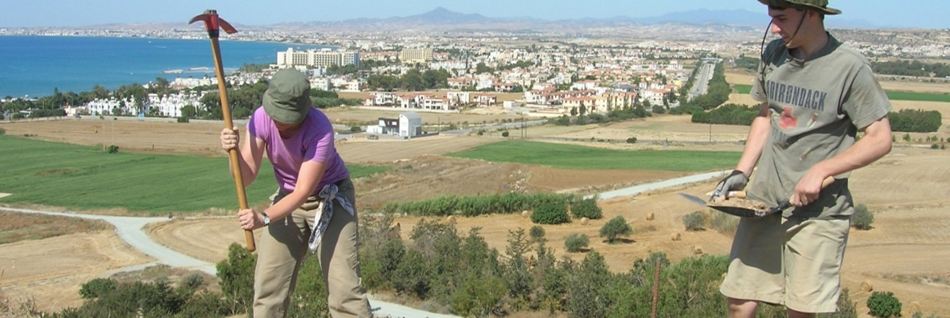
| Summary |
Earth fill to bedrock in northern part of trench between 5717_f1 and 5702_f1. Dry sieve. Other Find Bag: Shell |
| Date Excavated | 2009-06-11 |
| Min Elevation | 54.85 |
| Max Elevation | 54.94 |
| Description |
This afternoon we started to excavate this SU which runs from the northern terminus of 5717_f1 to the South terminus of 5702_f1. This appears to be an earthen fill set immediately over bedrock to create a surface even with the top of the stone slab. While cleaning, we found 2 more small flat slabs north of the large slab. While cleaning, we found 2 more small flat slabs north of the large slab. We drew those on the plan view of 5717_f1 bottom and then removed them. They are exactly at the same level as the large slab and formed part of the floor for this room. New Day June 12 12/06/09: We have removed all of the soil to the south, west, and eat of the large slab (north of 5717_f1). We quickly came down on bedrock in this area. North of the slab (between the slab and 5702_f1), we found a few more smaller slabs (at the same elevation as large slab) - as noted in yesterday’s notes- and the very soft ashy soil underneath. We have stopped excavating north of the large slab and will dig this as a separate SU (5721). The northern coordinate for this SU reflects our initial estimate of the SU before we noticed the softer ashy soil. The large slab runs mostly E-W/N-S and is about 33 cm x 45 cm in dimension. 5cm thick and sits on 4-7 cm of earthen fill. The bedrock is irregular and slightly sloping— the earth fill was dumped in for leveling. This level includes the slabs and its earthen fill below and around slabs—but does not run to bedrock north of the slab (where the ash is). We sifted everything in the SU through fine mesh. Top Elevation: N – 54.92, C 54.94, S 54.91, Highest Point 54.98 Bottom Elevation N 54.91, C 54.85, S 54.89, Slab 54.96 |
| Munsell | 10YR 5/4 Yellowish Brown |
| Texture | Silty Clay |
| Consolidation | Coarse-grained Sediment: Loose |
| Stoniness | 20 |
| Dominant Clast | Gravel |
| Descriptive Attribute | Value(s) |
|---|---|
|
Creator
Vocabulary: DCMI Metadata Terms (Dublin Core Terms) |
Suggested Citation
David K. Pettegrew, William R. Caraher, R. Scott Moore. (2019) "SU-5719 from Europe/Cyprus/PKAP Survey Area/Vigla/EU-8". In Pyla-Koutsopetria Archaeological Project II: Geophysics and Excavation. David K. Pettegrew, William R. Caraher, R. Scott Moore (Ed). Released: 2019-12-04. Open Context. <https://opencontext.org/subjects/0c7055b4-d3ea-49c7-8b35-7e35da48a12c> ARK (Archive): https://n2t.net/ark:/28722/k2kd27c0m
Editorial Status
●●●○○Copyright License
To the extent to which copyright applies, this content
carries the above license. Follow the link to understand specific permissions
and requirements.
Required Attribution: Citation and reference of URIs (hyperlinks)
