Feature Exposure (Descriptive Attribute)
Documentation Note
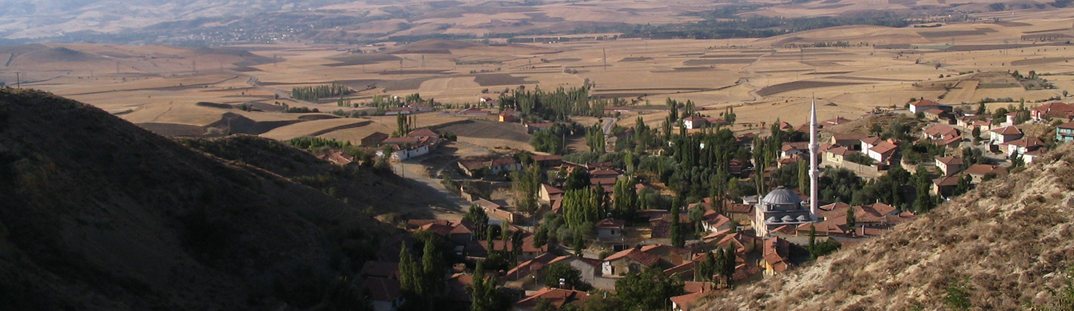
Measures the extent to which the feature can be observed, relative to other spaces in the sampled area. The full scene was sampled at regular points every 500m. A viewshed was run for each of these points, and the viewsheds were then combined, resulting in a raster that expressed the region's overall exposure. Each site was then sampled at points spaced at 15m intervals, The exposure value was determined for each point and these values were averaged to provide the exposure value for the feature.
Suggested Citation
John F. Haldon, Hugh W. Elton, James ML Newhard. (2019) "Feature Exposure". In Avkat Archaeological Project. John F. Haldon, Hugh W. Elton, James ML Newhard (Ed). Released: 2019-05-16. Open Context. <https://opencontext.org/predicates/b7ccf31f-636d-4eb5-ba78-515b7beb9e9f>
Editorial Status
●●●○○Part of Project
Copyright License
To the extent to which copyright applies, this content
carries the above license. Follow the link to understand specific permissions
and requirements.
Required Attribution: Citation and reference of URIs (hyperlinks)
