Survey Unit ID (Descriptive Attribute)
Documentation Note
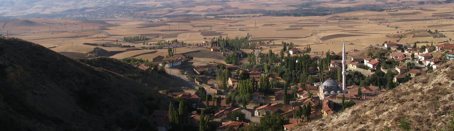
"Survey Units' are the demarcated areas selected for pedestrian survey, determined at the field level by the designated team leader. Survey units were investigated by 3 main methods:
- "Intensive transect": 15m fieldwalker spacing, subtotaling artifact counts every 15 meters (the 'OP Method').
- "Extensive": 30m fieldwalker spacing, artifact counts and recovered material collected at the survey unit level only. Used for areas which were topigraphically challenging, or where a general 'read' of the landscape was desired.
- "Random Grab": no standard spacing.
Artifact counts and recovered material collected at the survey unit level only. This feature class/shapefile consists of the survey unit's unique identifier ("S"NNNN) its geospatial geometry/location, method of investigation, land use information, and identifiers of individuals who investigated the unit. Counts of artifacts or other information related to objects found in the unit can be found by linking observation point and pottery data files.
Suggested Citation
John F. Haldon, Hugh W. Elton, James ML Newhard. (2019) "Survey Unit ID". In Avkat Archaeological Project. John F. Haldon, Hugh W. Elton, James ML Newhard (Ed). Released: 2019-05-16. Open Context. <https://opencontext.org/predicates/8c6fb0a3-9bbf-4792-8831-144f68dc9849>
Editorial Status
●●●○○Part of Project
Copyright License
To the extent to which copyright applies, this content
carries the above license. Follow the link to understand specific permissions
and requirements.
Required Attribution: Citation and reference of URIs (hyperlinks)
