Distance to Avkat (from centroid) (Descriptive Attribute)
Documentation Note
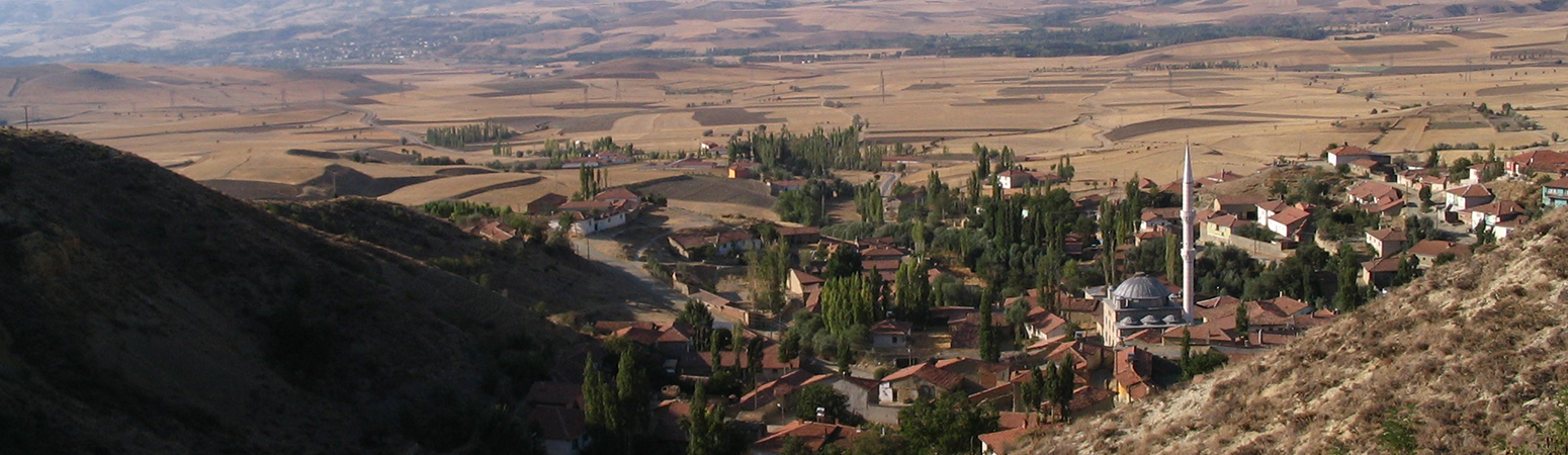
Distance from the centroid of the feature to the polygon outline of the modern village of Avkat. Distance values in decimal hours, as determined by the cost distance function, which used a cost surface developed by employing the algorithm developed by Newhard, Levine, and Phebus (2014, equation 3) to measure walking distance.
Newhard, JML, NS Levine, and AD Phebus.(2014 ) "The Development of Integrated Terrestrial and Marine Pathways in the Argo-Saronic Region, Greece." Cartography and Geographic Information Science. 41: 379-390. DOI:10.1080/15230406.2014.925786
Suggested Citation
John F. Haldon, Hugh W. Elton, James ML Newhard. (2019) "Distance to Avkat (from centroid)". In Avkat Archaeological Project. John F. Haldon, Hugh W. Elton, James ML Newhard (Ed). Released: 2019-05-16. Open Context. <https://opencontext.org/predicates/3bc61c37-fe25-4213-86ed-c13378609b67>
Editorial Status
●●●○○Part of Project
Copyright License
To the extent to which copyright applies, this content
carries the above license. Follow the link to understand specific permissions
and requirements.
Required Attribution: Citation and reference of URIs (hyperlinks)
