Portable Document Format (PDF) Preview: Map 4.6 from Asia/Turkey/Avkat Survey Area
| Descriptive Attribute | Value(s) |
|---|---|
| Source File Name | map_4.6.pdf |
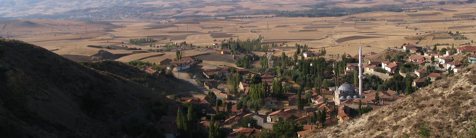
| Description |
The intersection of LCPs run between Amasya and Euchaïta, respectively (A), and the meeting of the proposed ancient, modeled, and modern roads (north) east of Mecitözü (B)
|
Suggested Citation
John F. Haldon, Hugh W. Elton, James ML Newhard. (2019) "Map 4.6 from Asia/Turkey/Avkat Survey Area". In Avkat Archaeological Project. John F. Haldon, Hugh W. Elton, James ML Newhard (Ed). Released: 2019-05-16. Open Context. <https://opencontext.org/media/4fe99d45-d8b3-4e89-83ad-d69076dbc24f> ARK (Archive): https://n2t.net/ark:/28722/k2mc9514v
Editorial Status
●●●○○Part of Project
Copyright License
To the extent to which copyright applies, this content
carries the above license. Follow the link to understand specific permissions
and requirements.
Required Attribution: Citation and reference of URIs (hyperlinks)
