Document Content
Introduction
Introduction
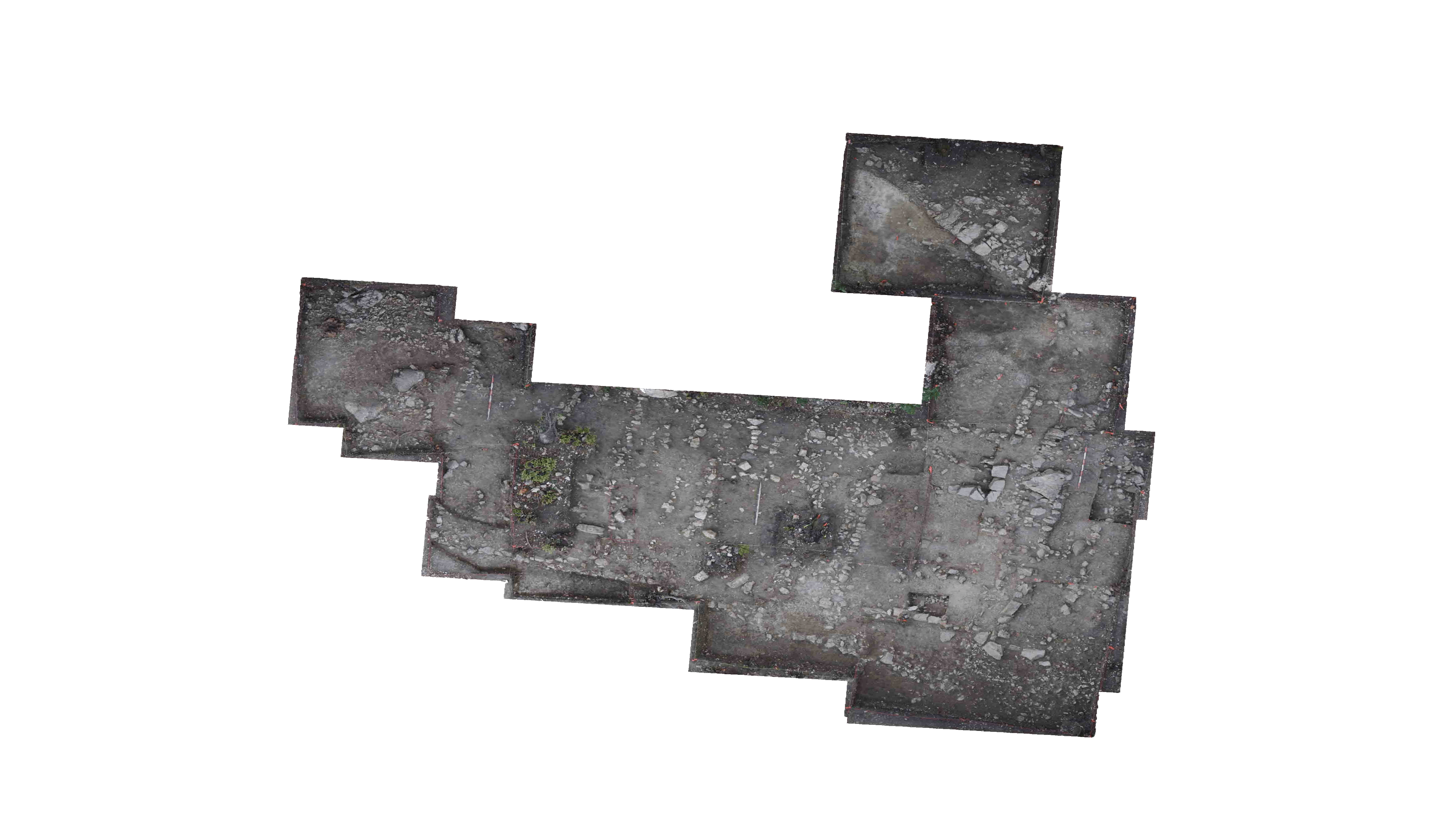
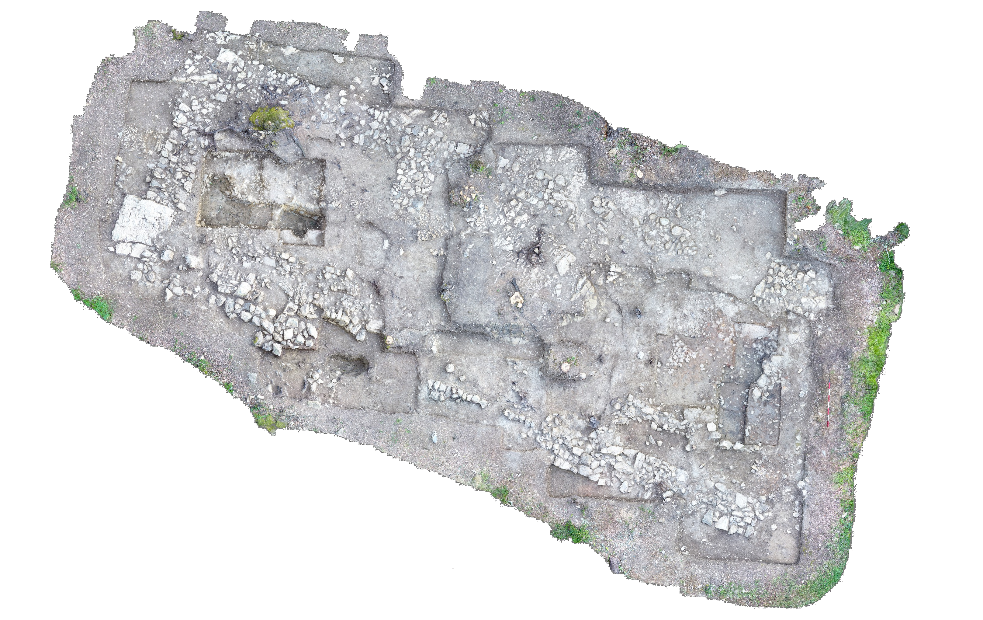
In the 2001 season, trenches T28N and T28S were placed on the slope south of the Orientalizing Complex Building 3/Workshop and to the east of trench T27 (for more information concerning trench T27 see , , and ). Trench T27 was originally excavated in order to clarify the function of the Southeast building (OCB3) and to find the location of the kilns associated with ceramic production in the area.
Since kilns were not found in T27, it was decided to re-open the area of the southern slope in order to continue the search in the 2001 season. During this season, a rock feature was uncovered in T28N. This feature was not fully excavated and its function was still unclear as of the close of the season.
In order to clarify the function of this rock feature, excavation will continue in
the 2002 season. There are several purposes in re-opening the T28 area. First, excavation will continue to the east tracking the course of the feature and determining its full length. Secondly, the stratigraphy of the slope will be defined and hopefully the slope of the 6th and 7th century groundlines will be determined. In addition, a southern tile fall was never identified with the Orientalizing workshop (OCB3). If this feature was present when the structure was destroyed, it may have captured the debris. This fall, if present, could then help us date the feature. The search for additional industrial activity will continue this season as well as the search for Villanovan material evidence. The latter may be present since excavation of the northern meters of T27 uncovered some evidence of Villanovan activity in the area.
T28 will be placed on the mastergrid
system this season. For more information concerning the establishment of the mastergrid, see NM IV pg. 1-5 ; TT I pg. 3-5 ; and JB IV pg. 1-5 . Pottery will be quantified in latte cartons (16cm x 9cm x 5cm roughly). Depths will be measured by absolute elevations. The absolute elevation of point PC5 is noted as 27.70 meters. Elevations were shot off of PC5 and established down the slope of T28. All elevation points will be noted within the trench books with their mastergrid coordinates. In addition, all absolute elevations were taken from nails placed in stumps or on the side of specific trees, and these measurements were taken from the top of the nail heads.
| Descriptive Attribute | Value(s) |
|---|---|
| Document Type | Trench Book Entry |
| Trench Book Entry Date | 2002-06-12 |
| Entry Year | 2002 |
| Start Page | 4 |
| End Page | 13 |
| Title | Introduction |
| Descriptive Attribute | Value(s) |
|---|---|
| Is Part Of Vocabulary: DCMI Metadata Terms (Dublin Core Terms) | KLH V Vocabulary: Murlo |
Suggested Citation
Kristin L. Hostetler. (2017) "KLH V (2002-06-12):4-13; Introduction from Europe/Italy/Poggio Civitate/Tesoro/Tesoro 28/2002, ID:487". In Murlo. Anthony Tuck (Ed). Released: 2017-10-04. Open Context. <https://opencontext.org/documents/f9e20561-39cf-4b77-88ed-2251c455e119> ARK (Archive): https://n2t.net/ark:/28722/k2kp8940b

Copyright License
To the extent to which copyright applies, this content
carries the above license. Follow the link to understand specific permissions
and requirements.
Required Attribution: Citation and reference of URIs (hyperlinks)


