
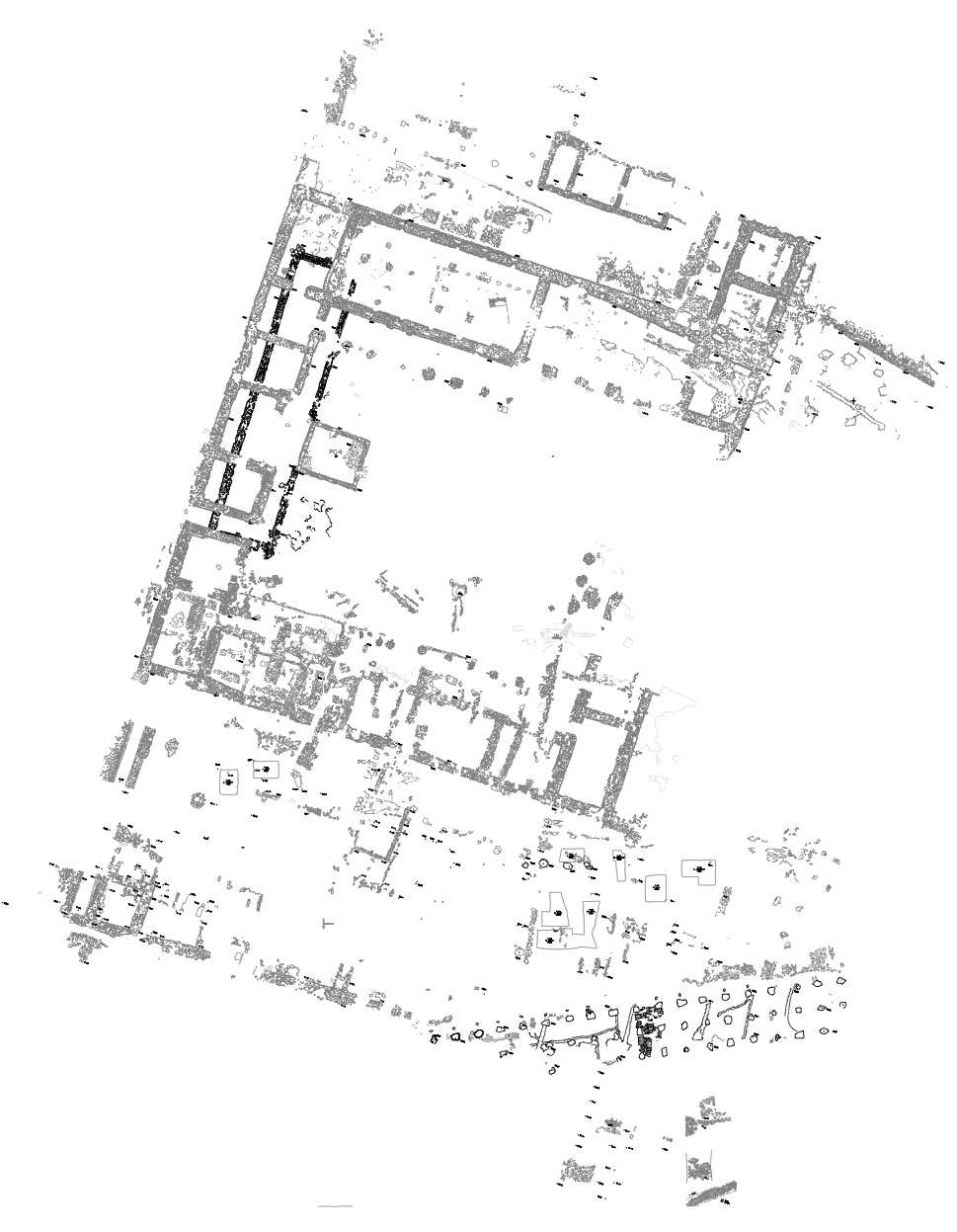
Document Content
Tuesday, 30 July 2019
AM
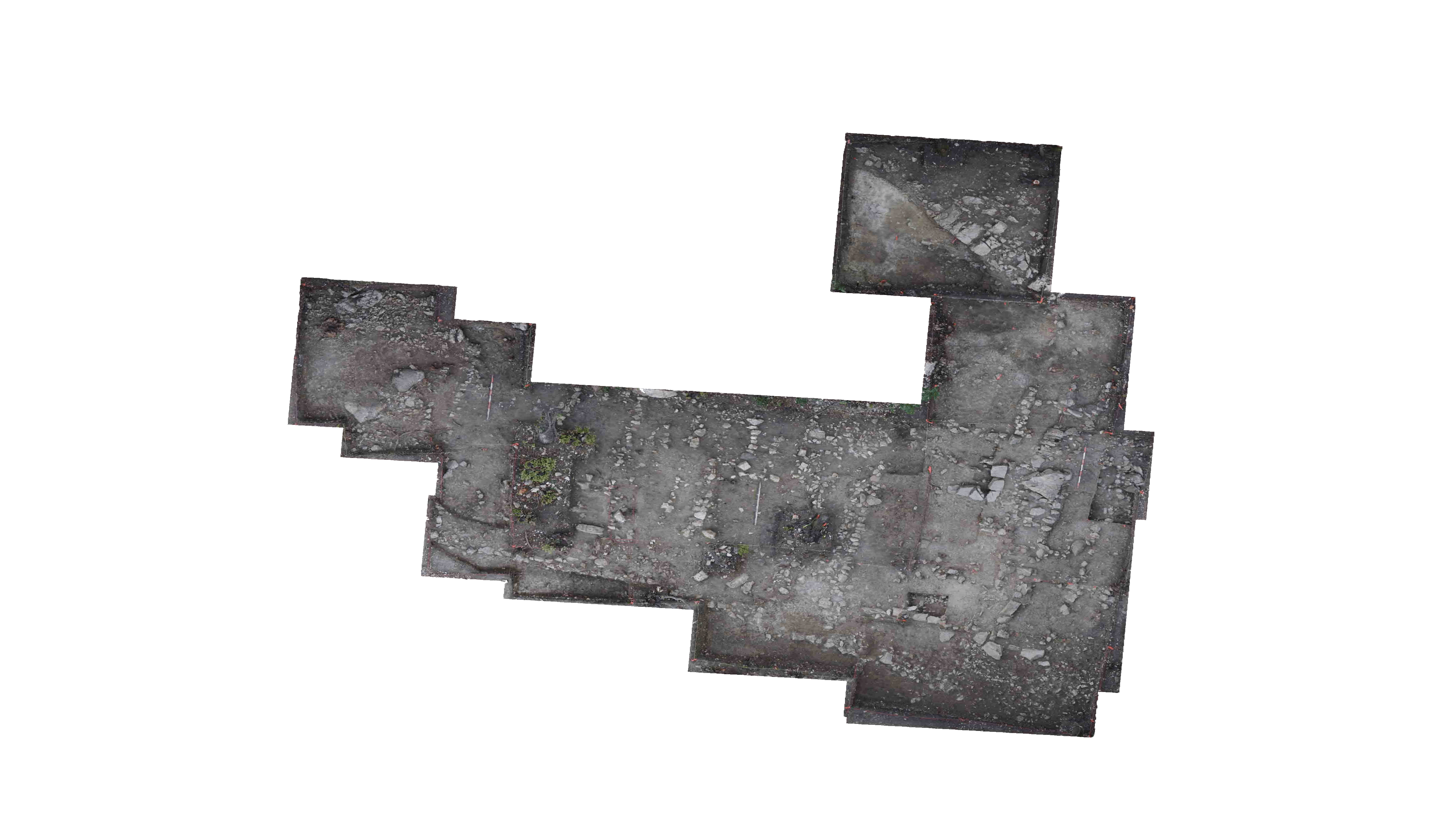
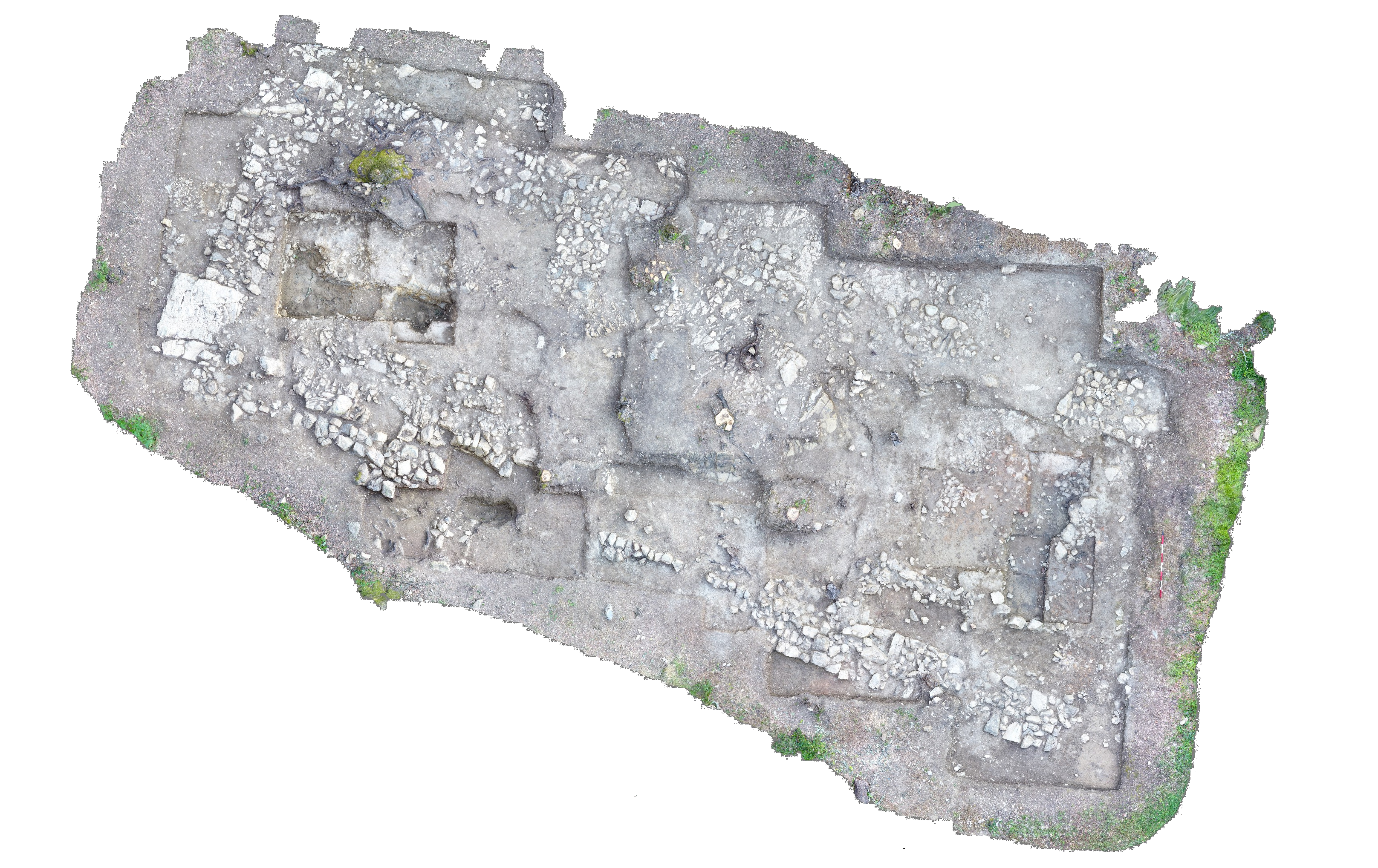
Yesterday afternoon, in the northern, excavated section of Locus 29, we had removed the dark gray, charcoal-rich, Locus 29 deposit, exposing a new, olive-brown, mottled deposit beneath. The new, olive brown, mottled deposit is highest in the north and forms a ridge, sloping downward app. 10-15cm, both to the north, to the bedrock shelf, and to the south. South of the ridge, we continued to find the new, olive brown, mottled soil deposit, where it includes a denser concentration of small stones (max. dimension 10cm). Both of these features- the ridge and the cobbling of small stones- are eastern continuations of the same features uncovered beneath Locus 27. This ridge and the cobbling of small stones, coupled with the earthen surface found beneath Locus 26, all are composed of an olive brown soil deposit, are continuous, and are stratigraphically positioned below EPOC4’s floor and subfloor. Therefore, we make the following hypotheses regarding these features:
- The earthen surface found beneath Locus 26 and the southern half of Locus 27 is a beaten earth floor, likely associated with a hut or another structure that predates EPOC4. This hypothesis is supported by visible examples of ceramics and bone lying flat atop the surface. This beaten earth floor surface terminates in a cobbling of small stones at the northern end of the surface. This cobbling abuts the ridge first uncovered beneath Locus 27.
- The ridge that underlies Loci 27 and 29 may be a berm, or foundation wall, for the potential hut or structure underlying EPOC4. It is composed of a dense, compacted, mottled soil with medium-sized stones (mas. dimension 25cm) and material culture integrated into this compacted and elevated feature. It also is laid out so that it is nestled, or pressing, against a bedrock shelf to the north, perhaps to provide greater stability to this potential structure.
- As this potential structure is stratigraphically below EPOC4’s floor and subfloor, this structure or hut must predate EPOC4. Therefore, it likely dates to the 8th c BCE. Furthermore, the charcoal-rich deposit of Loci 26, 27, and 29 that overlaid the structure’s floor and berm suggest that the structure burned down. As Loci 26 directly underlies EPOC4’s floor in the S part of the trench, this suggests that EPOC4 was constructed shortly, or even immediately, after the destruction of the underlying hut.
We scraped and swept Locus 29, in preparation for closing elevations, photos, and drawings. Closing photos, elevations, and a drawing were completed for Locus 29 and the locus was closed.
Closing Elevations: Locus 29
- NE corner (109E/42.53S): 26.44m A.E.
- 109E/44S: 26.32m A.E.
- SE corner (109E/46S): 26.41m A.E.
- SW corner (108.15E/46S): 26.41m A.E.
- 108.26E/44S: 26.28m A.E.
- NW corner (108.80E/42.53S): 26.36m A.E.
Now that Locus 29 is closed, excavation in T90 in 2019 will stop. However, for the purpose of documentation, the ridge, or possible hut berm, uncovered beneath Loci 27 and 29 will be designated Locus 30, while the earthen surface, or possible hut beaten earth floor, found under Loci 26 and 27 and in the 2016 sounding will be designated Locus 31. We will not excavate these features, but have simply exposed them and will document them. Photos, elevations, and a comprehensive drawing of Loci 30 and 31 were completed.
Elevations: Locus 30
- NE corner (109E/42.74S): 26.48m A.E.
- 109E/42.96S: 26.50m A.E.
- SE corner (109E/43.31S): 26.41m A.E.
- SW corner (107.66E/43.34S): 26.37m A.E.
- 107.73E/43.07S: 26.44m A.E.
- NW corner (107.72E/42.83S): 26.39m A.E.
Elevations: Locus 31
- NE corner (109E/43.31S): 26.41m A.E.
- 109E/44S: 26.32m A.E.
- 108.26E/44S: 26.28m A.E.
- SE corner (108.15E/46.15S): 26.13m A.E.
- SW corner (107.10E/45.72S): 26.17m A.E.
- 107.16E/44.87S: 26.18m A.E.
- 107.35E/44.05S: 26.32m A.E.
- NW corner (107.66E/43.34S):26.37m A.E>
Sketch of trench
PM
After lunch, the artists (Rachel, Joanne, and Jake) completed a stratigraphic section of 106.50E, facing west. The section shows the relationships and sequencing of the bedrock shelfs, the possible hut floor and berm of Loci 31 and 30, respectively, EPOC4’s subfloor, EPOC4’s floor, and EPOC4’s foundation walls.
After the stratigraphic section was completed, we took photos of Loci 30 and 31, then overall closing photos for the trench.
| Descriptive Attribute | Value(s) |
|---|---|
| Document Type | Trench Book Entry |
| Start Page | 311 |
| End Page | 319 |
| Trench Book Entry Date | 2019-07-30 |
| Entry Year | 2019 |
| Entry Type | Excavation Activities |
| Trench Book Title (Paper Book) | KRK XIV |
| Descriptive Attribute | Value(s) |
|---|---|
| Is Part Of Vocabulary: DCMI Metadata Terms (Dublin Core Terms) | Trench Book KRK XIV T90 2019 Vocabulary: Murlo |
Suggested Citation
Catherine Anne Uritis. (2019) "T90 (2019-07-30):311-319; Excavation Activities from Europe/Italy/Poggio Civitate/Tesoro/Tesoro 90/T90 2019". In Murlo. Anthony Tuck (Ed). Released: 2019-09-13. Open Context. <https://opencontext.org/documents/da1db8f6-54b7-44d7-ba54-8c051199b663> ARK (Archive): https://n2t.net/ark:/28722/k23207h96

Copyright License
To the extent to which copyright applies, this content
carries the above license. Follow the link to understand specific permissions
and requirements.
Required Attribution: Citation and reference of URIs (hyperlinks)
