Document Content
Tuesday, July 11 2017
AM
Began the day with taking aerial photographs, using a drone, of EPOC4’s front, eastern porch. Once aerial photos were taken, we triangulated the corners of a 6x7 meter trench that fully encompasses the walls of the single-room rectilinear structure overlying EPOC4’s porch. As this trench includes the previously excavated trenches T66, T75, T76, T78, T81, and T88, this trench will be designated T90. The boundaries of T90 are as follows:
- NW corner: 103E/41S
- NE corner: 110E/41S
- SE corner: 110E/47S
- SW corner: 103E/41S
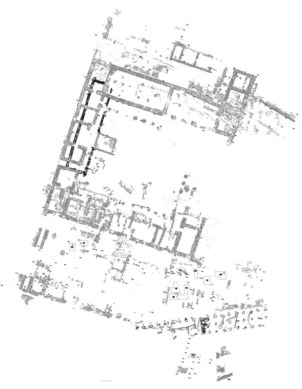
Diagram of T90 and earlier trenches
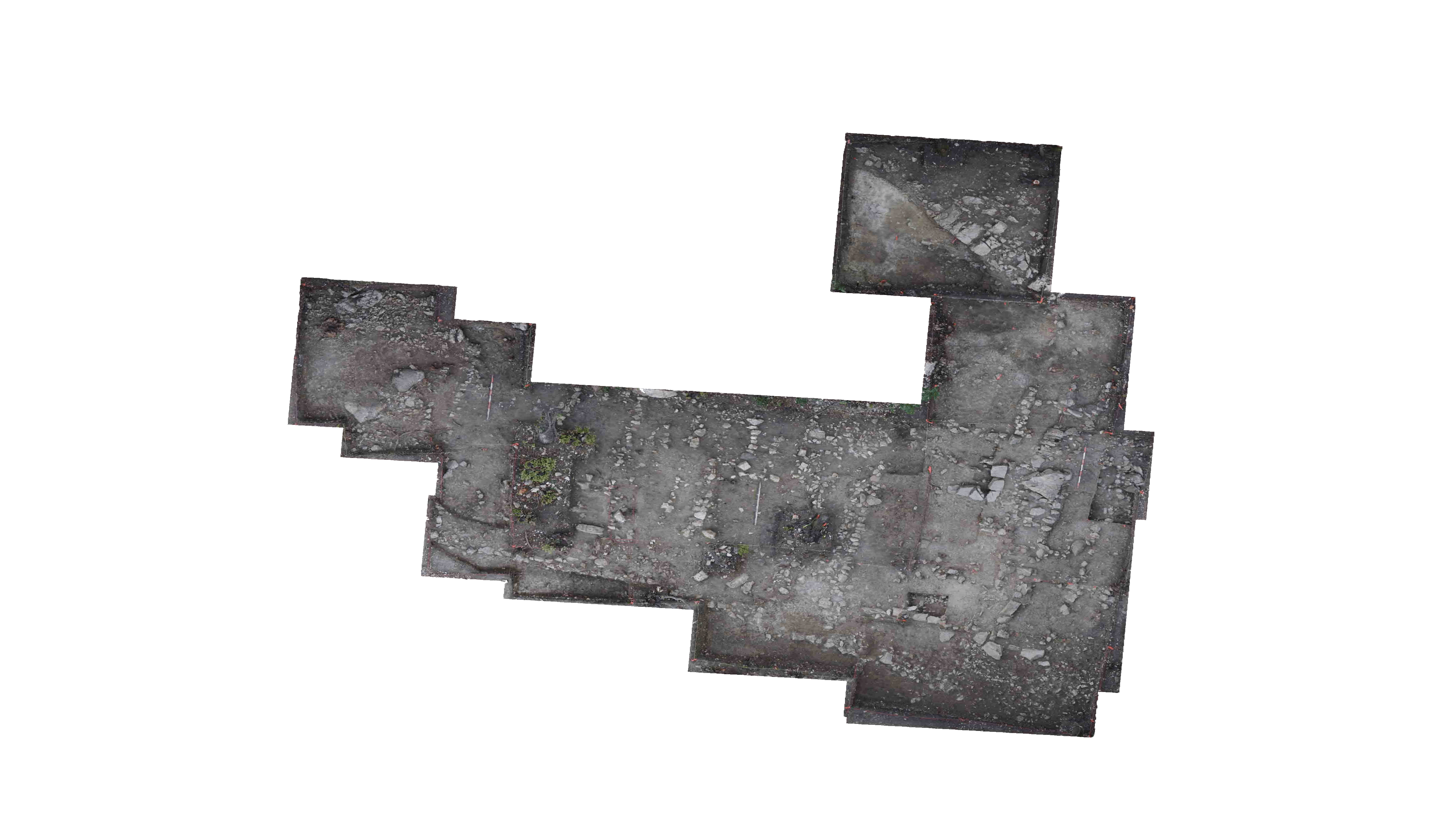
Sketch of T90 at time of trench opening
Based on work conducted in 2015 and 2016, there are a number of features, dating to different phases, in T90. From latest to earliest these are:
- A modern cutting made during the early years of excavation through all ancient contexts. This cut then was infilled with backfill (Backfill on plan).
- Three stone foundation walls from a single room rectilinear building postdating and built over EPOC4 (Later Wall: N, Later Wall: W, Later Wall: S on plan).
- A beaten earth surface associated with the later, rectilinear building (Later Surface on plan).
- The northern and southern walls of EPOC4 (EPOC4 N Wall and EPOC4 S Wall on plan).
- EPOC4 floor surface, exposed in two sections (EPOC4 Floor on plan). In the western section, on EPOC4’S floor, there is a stone feature.
- A burnt deposit exposed in the eastern section beneath the floor of EPOC4 (Burnt Deposit on plan).
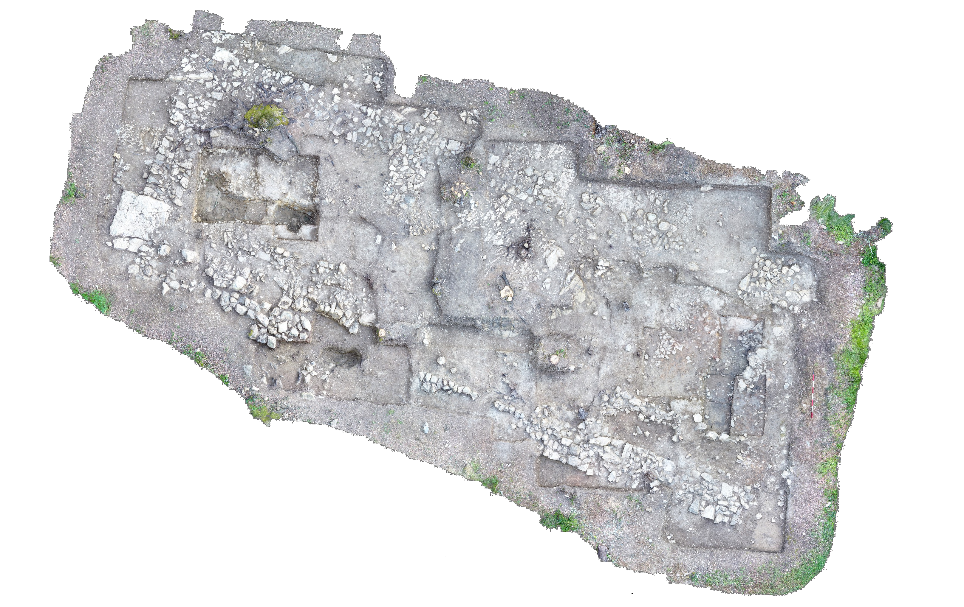
Diagram of T90 Locus 1
After the trench boundaries were established, T90 was opened. Opening photos of the whole trench were taken. Because a primary goal of T90 is to determine if there is evidence for habitation predating EPOC4 and the nature of this habitation, we will expand the sections made in 2016. This also will entail removing the walls of the later, rectilinear, superimposed structure. The S wall of this later structure will be left in situ as a control. However, before removing the western and northern walls of this later structure, we must first remove all traces of backfill from the N wall, to avoid contamination. Therefore, Locus 1 was opened at the eastern end of the later N wall, to excavate the backfilled deposit separately. Opening photos and elevations were taken.
Opening Elevations: Locus 1
- 108.05E/41.85S: 26.72m A.E.
- 108.69E/41.84S: 26.79m A.E.
- 108.77E/42.74S: 26.75m A.E.
- 109.50E/43.02S: 26.59m A.E.
- 109.46E/43.27S: 26.58m A.E.
- 108.11E/42.98S: 26.72m A.E.
Locus 1 consists of a jumble of rocks of different sizes at the eastern end of the later structure’s north wall. We first removed the stones on the surface of the locus, then used handpicks and trowels to remove backfill soil. Soil is dark brown, mottled, with terracotta and limestone inclusions, and is fairly loose. Moderate quantities of tile, pottery, and bone were found. Soil was hand sorted into buckets in the trench. While sorting, three fragments of vitrified terracotta (Finds #1-3) were recovered.
While removing the soil from Locus 1, we began to expose a compacted deposit with numerous fragments of embedded tile and plaster in the southern portion of the locus. This is consistent with the beaten earth surface of the later, rectilinear building and is contiguous with that surface. In the northern part of the locus, soil is becoming redder, which is consistent with the securely contextualized deposit immediately to the west. Therefore, after lunch, we will remove all remaining Locus 1 soil and begin excavating the N wall of the later structure as Locus 2.
Special Finds
Find #1
- Locus 1
- 108.27E/42.20S
- 26.58m A.E.
- Vitrified terracotta
Find #2
- Locus 1
- 108.60E/43.35S
- 26.52m A.E.
- Vitrified terracotta
Find #3
- Locus 1
- 108.66E/43.26S
- 26.51m A.E.
- Vitrified terracotta
PM
We continued to remove the remaining soil from Locus 1, exposing the continuation of the later structure’s beaten earth surface in the south of the locus and the darker reddish-brown soil in the north part of the locus. Once all remaining Locus 1 soil was removed, Locus 1 was closed. Closing photos and elevations were taken.
Closing elevations: Locus 1
- 108.05E/41.85S: 26.63m A.E.
- 108.69E/41.84S: 26.71m A.E.
- 108.77E/42.74S: 26.61m A.E.
- 109.50E/43.02S: 26.54m A.E.
- 109.46E/43.27S: 26.54m A.E.
- 108.11E/42.98S: 26.65m A.E.
Once locus 1 was closed, Locus 2 was declared to encompass the entire N wall of the later rectilinear structure. This wall will be removed. Locus 2 was declared open. Opening photos and elevations were taken.
Opening Elevations: Locus 2
- 104.30E/41.21S: 26.88m A.E.
- 108.75E/42.54S: 26.66m A.E.
- 108.27E/43.31S: 26.52m A.E.
- 106.70E/43.00S: 26.62m A.E.
- 106.65E/42.55S: 26.75m A.E.
- 104.90E/42.40S: 26.85m A.E.
- 104.16E/41.64S: 26.86m A.E.
We began removing rocks from the N wall of the later structure of Locus 2. We began in the west and worked east. Stones are large and are integrated into a dark brown soil. Rocks are loosened using handpicks and then soil is loosened using hand picks and trowels. Soil is hand sorted in the trench then screened with a 1cm gauge sieve; the first five buckets of soil will be collected for flotation. Moderate quantities of tile and pottery were found. While sieving a bucket of soil from the NW corner of the northern wall and Locus 2, a fragment of vitrified terracotta (Find #4) was found.
Special Finds
Find #4
- Sieve find
- Locus 2
- 104.30-104.50E/41.35-41.55S
- App. 26.65m A.E.
- Vitrified terracotta
Locus 1
- Tile: ¼ bowl
- Pottery: 26 sherds
- Bone: 5 fragments
Locus 2:
| Descriptive Attribute | Value(s) |
|---|---|
| Document Type | Trench Book Entry |
| Start Page | 25 |
| End Page | 28 |
| Trench Book Entry Date | 2017-07-11 |
| Entry Year | 2017 |
| Trench | T90 |
| Title | T90 (KRK) excavation, p. 25-28 |
| Entry Type | Excavation |
| Descriptive Attribute | Value(s) |
|---|---|
| Is Part Of Vocabulary: DCMI Metadata Terms (Dublin Core Terms) | Trench Book T90 2017 Vocabulary: Murlo |
Suggested Citation
Katharine R. Kreindler. (2017) "T90 (2017-07-11):25-28; Excavation from Europe/Italy/Poggio Civitate/Tesoro/Tesoro 90/T90 2017". In Murlo. Anthony Tuck (Ed). Released: 2017-10-04. Open Context. <https://opencontext.org/documents/292e44f2-45c2-4a9b-bd18-97b54f450e23> ARK (Archive): https://n2t.net/ark:/28722/k2t440j1m

Copyright License
To the extent to which copyright applies, this content
carries the above license. Follow the link to understand specific permissions
and requirements.
Required Attribution: Citation and reference of URIs (hyperlinks)


