| Descriptive Attribute | Value(s) |
|---|---|
| Publictation Status | Published |
| Definition | Wall east of corridor SU 1322 |
| Formation Process | Construction |
| Stratigraphic Reliability | Fair |
| Stratigraphic Unit Type | Anthropic |
| Elevation Maximum | 64.0 |
| Elevation Minimum | 62.0 |
| In Elevation Drawing | False |
| Has Photosmodels | True |
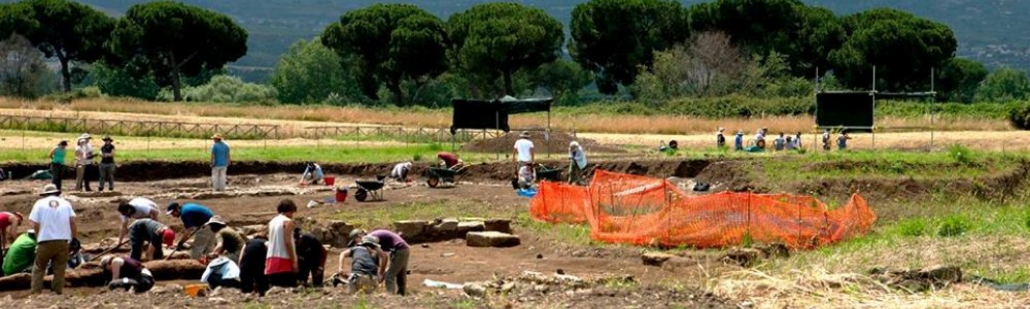
| Observations | SU was visible in 2008, but properly excavated in 2011 |
| Position | runs central through eastern part of trench B 2011 |
| Shape | linear with irregular extension to the east |
| Structure Alignment | North-south (site) |
| Structure Dimensions | w=20.40cm h=ca 70cm |
| Structure Description | Consists of mainly irregular stones, though some tufo blocks are worked. Mostly tufo, but a few basalt and travertine stones are visible, where there are worked stones the lining is very regular, elsewhere (especially to the north and south) it is irregular and in fact difficult to follow. |
| Structure Mortar Size | small (6x6cm) medium (15x20cm) large (40x40cm) |
| Structure Mortar Inclusions Other | Tufo, basalt and travertine |
| Originally Filled Date | 2011-02-08 |
| Originally Revised Date | 2011-03-08 |
| Originally PDF Date | 2011-03-08 |
| Record Revised Date | 2016-04-17 |
| Interpretation | Stone lining of a drainage channel (SU 1322), rather a lining than a wall. SU 1402 is faced towards drainage channel (west-facing) and had been cut into layer 1032, 1389. |
| Descriptive Attribute | Value(s) |
|---|---|
|
Subject
Vocabulary: DCMI Metadata Terms (Dublin Core Terms) |
Excavations (Archaeology)
Vocabulary: Library of Congress Subject Headings Open Context References: Excavations (Archaeology) |
|
Temporal Coverage
Vocabulary: DCMI Metadata Terms (Dublin Core Terms) |
|
|
Creator
Vocabulary: DCMI Metadata Terms (Dublin Core Terms) |
|
|
Spatial Coverage
Vocabulary: DCMI Metadata Terms (Dublin Core Terms) |
Suggested Citation
Rachel Opitz, Marcello Mogetta, Nicola Terrenato. (2017) "Unit 1402 from Europe/Italy/Gabii/Area B". In The Gabii Project. Rachel Opitz, Marcello Mogetta, Nicola Terrenato (Ed). Released: 2017-06-04. Open Context. <https://opencontext.org/subjects/baa1c4ad-a051-476d-bacf-1c8949d5f4a1> ARK (Archive): https://n2t.net/ark:/28722/k2p55t68x
Editorial Status
●●●○○Part of Project
Copyright License
To the extent to which copyright applies, this content
carries the above license. Follow the link to understand specific permissions
and requirements.
Required Attribution: Citation and reference of URIs (hyperlinks)
